 Email login
 中文
中文Tel:0086- 025-52623756
Address:Qinhuai District, Nanjing City, Jiangsu Province, China
E-mail:yang.senlin@njyangchen.com
Zip code:210022
Product
Introduction
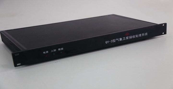
This device receives and processes data
from Japan's new generation geostationary meteorological satellite, Himawari-8.
Himawari-8 has increased the frequency of observation. The time interval for
observing the entire map of Himawari-8 has been shortened to 10 minutes, which
means 6 images per hour and 144 images per day. Himawari-8 has improved the
horizontal resolution of the image. The resolution of visible light is 0.5-1km,
and the resolution of infrared and near-infrared is 1-2km. Due to the
significant improvements mentioned above, Himawari-8 can more effectively
observe the movement of tropical cyclones and clouds.
The QY-3 new generation meteorological
satellite data reception and processing system adopts high-performance antenna
feeders and digital satellite receivers. The product design for cloud image
data processing has been carried out based on the cloud image characteristics
of the Himawari-8 satellite, improving algorithms for strong convection
recognition, precipitation estimation, sea fog recognition and warning, cloud
guided wind products, cloud classification, fire point monitoring, sand and
dust recognition, air mass recognition, typhoon warning, and other aspects.
Real color cloud image display has also been added.
Product
features
QY-3 new generation meteorological
satellite cloud image receiving and processing system, received satellite cloud
image products are rich, timely and accurate data, and can accurately measure
the cloud top temperature of infrared cloud map, cloud top albedo of visible
cloud map and typhoon position. Therefore, the function of the product can be
more exerted in the following applications.
1) Short- and medium-term weather
forecasting, climate change monitoring, short-term forecasting of strong
storms.
2) Can observe the formation, development
and movement direction of tropical storms and typhoons in real time, and can
accurately determine their intensity, position and movement speed
3) Be able to predict where to land.
4) Use animated images to track cloud
movement, growth, and decay.
5) Detection and forecasting of sea fog.